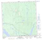
Maps showing Strawberry Lake, Yukon
Strawberry Lake is a Lake located in Yukon and has an elevation of 1029 meters.
- Latitude: 60° 6' 49'' North (decimal: 60.1136111)
- Longitude: 132° 11' 28'' West (decimal: -132.1911111)
- Topography Feature Category: Lake
- Geographical Feature: Lake
- Canadian Province/Territory: Yukon
- Elevation: 1029 meters
- Atlas of Canada Locator Map: Strawberry Lake
- GPS Coordinate Locator Map: Strawberry Lake Lat/Long