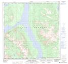
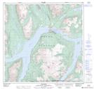
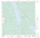
Maps showing Tagish Lake, Yukon
Tagish Lake is a Lake located in Yukon and has an elevation of 711 meters.
- Latitude: 60° 9' 00'' North (decimal: 60.1499999)
- Longitude: 134° 23' 40'' West (decimal: -134.3944000)
- Topography Feature Category: Lake
- Geographical Feature: Lake
- Canadian Province/Territory: Yukon
- Elevation: 711 meters
- Atlas of Canada Locator Map: Tagish Lake
- GPS Coordinate Locator Map: Tagish Lake Lat/Long
Tagish Lake NTS Map Sheets