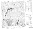
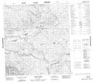
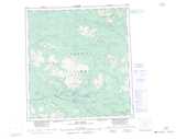
Maps showing Teddy Creek, Yukon
Teddy Creek is a River located in Yukon and has an elevation of 850 meters.
- Latitude: 62° 37' 54'' North (decimal: 62.6316666)
- Longitude: 132° 50' 18'' West (decimal: -132.8383333)
- Topography Feature Category: River
- Geographical Feature: Creek
- Canadian Province/Territory: Yukon
- Elevation: 850 meters
- Atlas of Canada Locator Map: Teddy Creek
- GPS Coordinate Locator Map: Teddy Creek Lat/Long
Teddy Creek NTS Map Sheets