Canada Topographic Maps

Tetlit Creek Topo Maps

Topography maps and Latitude/Longitude Location

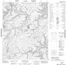
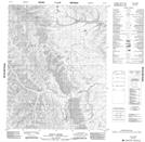
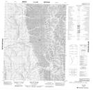
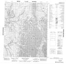
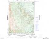
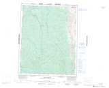
Maps showing Tetlit Creek, Yukon

Tetlit Creek is a River located in Yukon and has an elevation of 374 meters.

  • Latitude: 66° 43' 48'' North   (decimal: 66.73)
  • Longitude: 135° 22' 8'' West   (decimal: -135.3688889)
  • Topography Feature Category: River
  • Geographical Feature: Creek
  • Canadian Province/Territory: Yukon
  • Elevation: 374 meters
  • Atlas of Canada Locator Map: Tetlit Creek
  • GPS Coordinate Locator Map: Tetlit Creek Lat/Long

Tetlit Creek NTS Map Sheets

106L11 Bossuyt Lake Topographic Map at 1:50,000 scale

106L12 Tetlit Creek Topographic Map at 1:50,000 scale

116I09 Mount Hare Topographic Map at 1:50,000 scale

116I16 Mount Cronin Topographic Map at 1:50,000 scale

106L Trail River Topographic Map at 1:250,000 scale

116I Eagle River Topographic Map at 1:250,000 scale

 
Buy Topographic Maps DVD
Newsletter Sign-up

Yes, I want to receive map store discounts.


Bookmark and Share