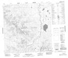
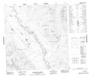
Maps showing Thirtymile Range, Yukon
Thirtymile Range is a Mountain located in Yukon and has an elevation of 1408 meters.
- Latitude: 60° 40' 20'' North (decimal: 60.6722222)
- Longitude: 132° 25' 52'' West (decimal: -132.4311111)
- Topography Feature Category: Mountain
- Geographical Feature: Range
- Canadian Province/Territory: Yukon
- Elevation: 1408 meters
- Atlas of Canada Locator Map: Thirtymile Range
- GPS Coordinate Locator Map: Thirtymile Range Lat/Long
Thirtymile Range NTS Map Sheets