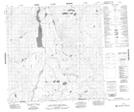
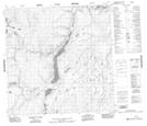
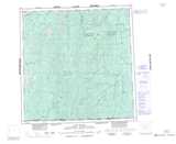
Maps showing Toobally Lakes, Yukon
Toobally Lakes is a Lake located in Yukon and has an elevation of 642 meters.
- Latitude: 60° 17' 30'' North (decimal: 60.2916666)
- Longitude: 126° 19' 26'' West (decimal: -126.3238889)
- Topography Feature Category: Lake
- Geographical Feature: Lake
- Canadian Province/Territory: Yukon
- Elevation: 642 meters
- Atlas of Canada Locator Map: Toobally Lakes
- GPS Coordinate Locator Map: Toobally Lakes Lat/Long
Toobally Lakes NTS Map Sheets