Maps showing Tuchitua, Yukon
Tuchitua is a Unincorporated area located in Yukon.
- Latitude: 60° 55' 50'' North (decimal: 60.9305555)
- Longitude: 129° 13' 57'' West (decimal: -129.2325)
- Topography Feature Category: Unincorporated area
- Geographical Feature: Locality
- Canadian Province/Territory: Yukon
- Atlas of Canada Locator Map: Tuchitua
- GPS Coordinate Locator Map: Tuchitua Lat/Long
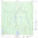
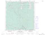
Tuchitua NTS Map Sheets