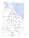
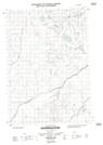
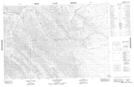
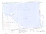
Maps showing Tulugaq River, Yukon
Tulugaq River is a River located in Yukon.
- Latitude: 69° 7' 32'' North (decimal: 69.1255555)
- Longitude: 138° 22' 20'' West (decimal: -138.3722222)
- Topography Feature Category: River
- Geographical Feature: River
- Canadian Province/Territory: Yukon
- Atlas of Canada Locator Map: Tulugaq River
- GPS Coordinate Locator Map: Tulugaq River Lat/Long
Tulugaq River NTS Map Sheets