Canada Topographic Maps

Tummel Basin Topo Maps

Topography maps and Latitude/Longitude Location

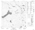
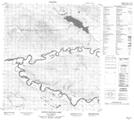
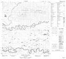
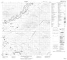
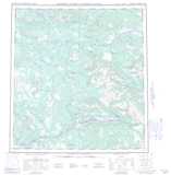
Maps showing Tummel Basin, Yukon

Tummel Basin is a Valley located in Yukon.

  • Latitude: 62° 25' North   (decimal: 62.4166666)
  • Longitude: 135° 10' West   (decimal: -135.1666667)
  • Topography Feature Category: Valley
  • Geographical Feature: Basin
  • Canadian Province/Territory: Yukon
  • Atlas of Canada Locator Map: Tummel Basin
  • GPS Coordinate Locator Map: Tummel Basin Lat/Long

Tummel Basin NTS Map Sheets

105L05 Tadru Lake Topographic Map at 1:50,000 scale

105L06 Afe Peak Topographic Map at 1:50,000 scale

105L10 Detour Lakes Topographic Map at 1:50,000 scale

105L11 Ragged Lake Topographic Map at 1:50,000 scale

105L12 Tatlmain Lake Topographic Map at 1:50,000 scale

105L13 Little Kalzas Lake Topographic Map at 1:50,000 scale

105L14 Safety Pin Bend Topographic Map at 1:50,000 scale

105L15 Dromedary Mountain Topographic Map at 1:50,000 scale

105L Glenlyon Topographic Map at 1:250,000 scale

 
Buy Topographic Maps DVD
Newsletter Sign-up

Yes, I want to receive map store discounts.


Bookmark and Share