Canada Topographic Maps

Upper Morley Lake Topo Maps

Topography maps and Latitude/Longitude Location

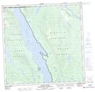
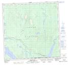
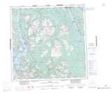
Maps showing Upper Morley Lake, Yukon

Upper Morley Lake is a Lake located in Yukon.

  • Latitude: 59° 60' 00'' North   (decimal: 59.9999999)
  • Longitude: 132° 5' 30'' West   (decimal: -132.0916999)
  • Topography Feature Category: Lake
  • Geographical Feature: Lake
  • Canadian Province/Territory: Yukon
  • GPS Coordinate Locator Map: Upper Morley Lake Lat/Long

Upper Morley Lake NTS Map Sheets

104N16 Gladys River Topographic Map at 1:50,000 scale

105C01 Morley Lake Topographic Map at 1:50,000 scale

104N Atlin Topographic Map at 1:250,000 scale

105C Teslin Topographic Map at 1:250,000 scale

 
Buy Topographic Maps DVD
Newsletter Sign-up

Yes, I want to receive map store discounts.


Bookmark and Share