Canada Topographic Maps

Walsh Creek Topo Maps

Topography maps and Latitude/Longitude Location

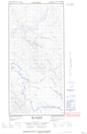
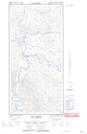
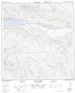
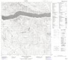
Maps showing Walsh Creek, Yukon

Walsh Creek is a River located in Yukon and has an elevation of 592 meters.

  • Latitude: 61° 55' 12'' North   (decimal: 61.92)
  • Longitude: 134° 56' 29'' West   (decimal: -134.9413889)
  • Topography Feature Category: River
  • Geographical Feature: Creek
  • Canadian Province/Territory: Yukon
  • Elevation: 592 meters
  • Atlas of Canada Locator Map: Walsh Creek
  • GPS Coordinate Locator Map: Walsh Creek Lat/Long

Walsh Creek NTS Map Sheets

105E15E Big Salmon Topographic Map at 1:50,000 scale

105E15W Big Salmon Topographic Map at 1:50,000 scale

105L01 Truitt Creek Topographic Map at 1:50,000 scale

105L02 Snowcap Mountain Topographic Map at 1:50,000 scale

105E Lake Laberge Topographic Map at 1:250,000 scale

105L Glenlyon Topographic Map at 1:250,000 scale

 
Buy Topographic Maps DVD
Newsletter Sign-up

Yes, I want to receive map store discounts.


Bookmark and Share