Canada Topographic Maps

Windgap Creek Topo Maps

Topography maps and Latitude/Longitude Location

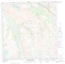
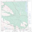
Maps showing Windgap Creek, Yukon

Windgap Creek is a River located in Yukon.

  • Latitude: 61° 18' 50'' North   (decimal: 61.3139000)
  • Longitude: 139° 11' 25'' West   (decimal: -139.1903000)
  • Topography Feature Category: River
  • Geographical Feature: Creek
  • Canadian Province/Territory: Yukon
  • GPS Coordinate Locator Map: Windgap Creek Lat/Long

Windgap Creek NTS Map Sheets

115G03 Bighorn Creek Topographic Map at 1:50,000 scale

115G06 Duke River Topographic Map at 1:50,000 scale

115G Kluane Lake Topographic Map at 1:250,000 scale

 
Buy Topographic Maps DVD
Newsletter Sign-up

Yes, I want to receive map store discounts.


Bookmark and Share