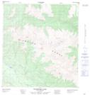
Maps showing Woodburn Lake, Yukon
Woodburn Lake is a Lake located in Yukon and has an elevation of 739 meters.
- Latitude: 63° 3' 25'' North (decimal: 63.0569444)
- Longitude: 135° 56' 48'' West (decimal: -135.9466667)
- Topography Feature Category: Lake
- Geographical Feature: Lake
- Canadian Province/Territory: Yukon
- Elevation: 739 meters
- Atlas of Canada Locator Map: Woodburn Lake
- GPS Coordinate Locator Map: Woodburn Lake Lat/Long