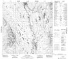
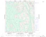
Maps showing Innes-Taylor River, Yukon
Innes-Taylor River is a River located in Yukon.
- Latitude: 61° 6' 5'' North (decimal: 61.1013888)
- Longitude: 129° 11' 22'' West (decimal: -129.1894444)
- Topography Feature Category: River
- Geographical Feature: River
- Canadian Province/Territory: Yukon
- Atlas of Canada Locator Map: Innes-Taylor River
- GPS Coordinate Locator Map: Innes-Taylor River Lat/Long
Innes-Taylor River NTS Map Sheets