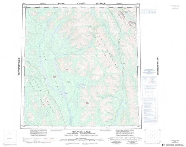
105H Frances Lake Topographic Maps
Maps for the Frances Lake map sheet 105H at 1:250,000 scale are available in 5 versions:
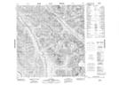
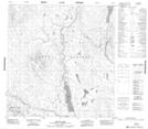
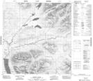
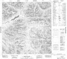
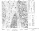
Topographic Map of Frances Lake
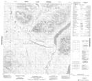
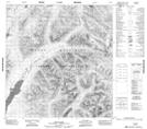
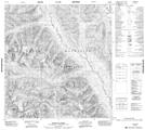
1:50,000 Scale Topos for Frances Lake 105H:
 |
 |
 |
 |
 |
 |
 |
 |
 |
 |
 |
 |
 |
 |
 |
 |
105H Related Maps:
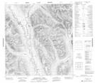
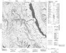
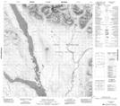
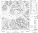
105H Frances Lake
105H01 Lower Hyland Lake
105H02 Mount Billings
105H03 Klatsa River
105H04 No Title
105H05 Money Creek
105H06 Nipple Mountain
105H07 Tyers River
105H08 Flood Creek
105H09 Ostensibility Creek
105H10 Anderson Lake
105H11 Thomas River
105H12 Leckie Lake
105H13 Mcpherson Lake
105H14 Tillei Lake
105H15 Shannon Creek
105H16 Tungsten
