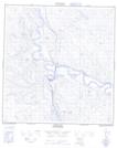
Maps showing Carmacks 11, Yukon
Carmacks 11 is a Indian Reserve located in Yukon.
- Latitude: 62° 5' North (decimal: 62.0833333)
- Longitude: 136° 18' West (decimal: -136.2999999)
- Topography Feature Category: Indian Reserve
- Geographical Feature: Indian Reserve - Réserve indienne
- Canadian Province/Territory: Yukon
- Atlas of Canada Locator Map: Carmacks 11
- GPS Coordinate Locator Map: Carmacks 11 Lat/Long