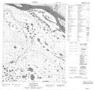
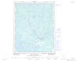
Maps showing Andersons Landing, Mackenzie, Northwest Territories
Andersons Landing is a Unincorporated area located in Mackenzie, Northwest Territories.
- Latitude: 66° 43' 0'' North (decimal: 66.7166885)
- Longitude: 129° 49' 8'' West (decimal: -129.8188064)
- Topography Feature Category: Unincorporated area
- Geographical Feature: Locality
- Canadian Province/Territory: Northwest Territories
- Location: Mackenzie
- Atlas of Canada Locator Map: Andersons Landing
- GPS Coordinate Locator Map: Andersons Landing Lat/Long
Andersons Landing NTS Map Sheets