Maps showing Banks Island, Franklin, Northwest Territories
Banks Island is a Island located in Franklin, Northwest Territories.
- Latitude: 72° 45' 2'' North (decimal: 72.7504802)
- Longitude: 121° 30' 10'' West (decimal: -121.5028440)
- Topography Feature Category: Island
- Geographical Feature: Island
- Canadian Province/Territory: Northwest Territories
- Location: Franklin
- Atlas of Canada Locator Map: Banks Island
- GPS Coordinate Locator Map: Banks Island Lat/Long
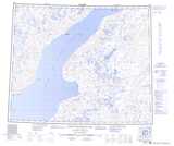
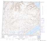
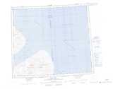
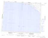
Banks Island NTS Map Sheets
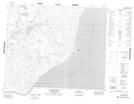
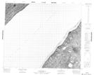
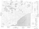
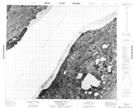
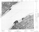
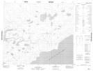
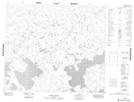
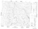
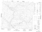
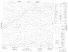
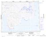
088B05 Stewart Point Topographic Map at 1:50,000 scale
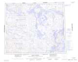
088B11 No Title Topographic Map at 1:50,000 scale
088B12 No Title Topographic Map at 1:50,000 scale
088B13 No Title Topographic Map at 1:50,000 scale
088B14 No Title Topographic Map at 1:50,000 scale
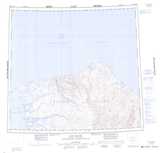
088B15 Armstrong Point Topographic Map at 1:50,000 scale
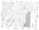
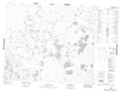
088C01 No Title Topographic Map at 1:50,000 scale
088C02 No Title Topographic Map at 1:50,000 scale
088C03 No Title Topographic Map at 1:50,000 scale
088C04 No Title Topographic Map at 1:50,000 scale
088C05 No Title Topographic Map at 1:50,000 scale
088C06 No Title Topographic Map at 1:50,000 scale
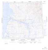
088B Deans Dundas Bay Topographic Map at 1:250,000 scale
088C White Sand Creek Topographic Map at 1:250,000 scale
088D Peel Point Topographic Map at 1:250,000 scale
097G Sachs Harbour Topographic Map at 1:250,000 scale
097H De Salis Bay Topographic Map at 1:250,000 scale
098A Jesse Harbour Topographic Map at 1:250,000 scale
098D Bernard River Topographic Map at 1:250,000 scale
098E Cape M'Clure Topographic Map at 1:250,000 scale
098F Map Not Available Topographic Map at 1:250,000 scale