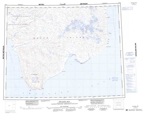
097H De Salis Bay Topographic Maps
Maps for the De Salis Bay map sheet 097H at 1:250,000 scale are available in 5 versions:
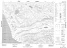
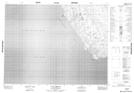
Topographic Map of De Salis Bay
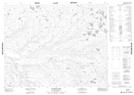
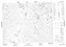
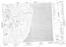
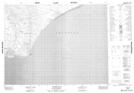
1:50,000 Scale Topos for De Salis Bay 097H:
 |
 |
 |
 |
 |
 |
 |
 |
 |
 |
 |
 |
 |
 |
097H Related Maps:
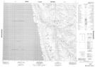
097H De Salis Bay
097H03 Nelson Head
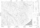
097H04 Cape Lambton
097H05 Rufus River
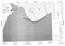
097H06 Cape Collinson
097H07 Cape Cardwell
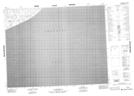
097H08 No Title
097H09 Nokaluk River
097H10 No Title
097H11 Hoagak Lake
097H12 Raddi Lake
097H13 Capron Lake
097H14 No Title
097H15 No Title
097H16 Schuyter Point
097H03 Nelson Head
097H04 Cape Lambton
097H05 Rufus River
097H06 Cape Collinson
097H07 Cape Cardwell
097H08 No Title
097H09 Nokaluk River
097H10 No Title
097H11 Hoagak Lake
097H12 Raddi Lake
097H13 Capron Lake
097H14 No Title
097H15 No Title
097H16 Schuyter Point
