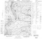
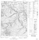
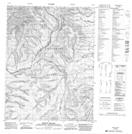
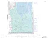
Maps showing Barrier River, Mackenzie, Northwest Territories
Barrier River is a River located in Mackenzie, Northwest Territories and has an elevation of 161 meters.
- Latitude: 67° 39' 59'' North (decimal: 67.6665105)
- Longitude: 135° 40' 9'' West (decimal: -135.6691358)
- Topography Feature Category: River
- Geographical Feature: River
- Canadian Province/Territory: Northwest Territories
- Elevation: 161 meters
- Location: Mackenzie
- Atlas of Canada Locator Map: Barrier River
- GPS Coordinate Locator Map: Barrier River Lat/Long
Barrier River NTS Map Sheets