Canada Topographic Maps

Big Spruce Hills Topo Maps

Topography maps and Latitude/Longitude Location

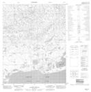
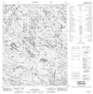
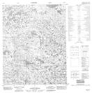
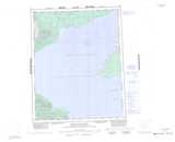
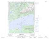
Maps showing Big Spruce Hills, Mackenzie, Northwest Territories

Big Spruce Hills is a Mountain located in Mackenzie, Northwest Territories and has an elevation of 270 meters.

  • Latitude: 66° 43' 1'' North   (decimal: 66.7168766)
  • Longitude: 121° 55' 7'' West   (decimal: -121.9185155)
  • Topography Feature Category: Mountain
  • Geographical Feature: Hills
  • Canadian Province/Territory: Northwest Territories
  • Elevation: 270 meters
  • Location: Mackenzie
  • Atlas of Canada Locator Map: Big Spruce Hills
  • GPS Coordinate Locator Map: Big Spruce Hills Lat/Long

Big Spruce Hills NTS Map Sheets

096I12 Glacier Ice Creek Topographic Map at 1:50,000 scale

096I13 No Title Topographic Map at 1:50,000 scale

096I14 No Title Topographic Map at 1:50,000 scale

096J09 Mcgill Bay Topographic Map at 1:50,000 scale

096J10 No Title Topographic Map at 1:50,000 scale

096J15 No Title Topographic Map at 1:50,000 scale

096J16 No Title Topographic Map at 1:50,000 scale

096I Cape Macdonnel Topographic Map at 1:250,000 scale

096J Kilekale Lake Topographic Map at 1:250,000 scale

 
Buy Topographic Maps DVD
Newsletter Sign-up

Yes, I want to receive map store discounts.


Bookmark and Share