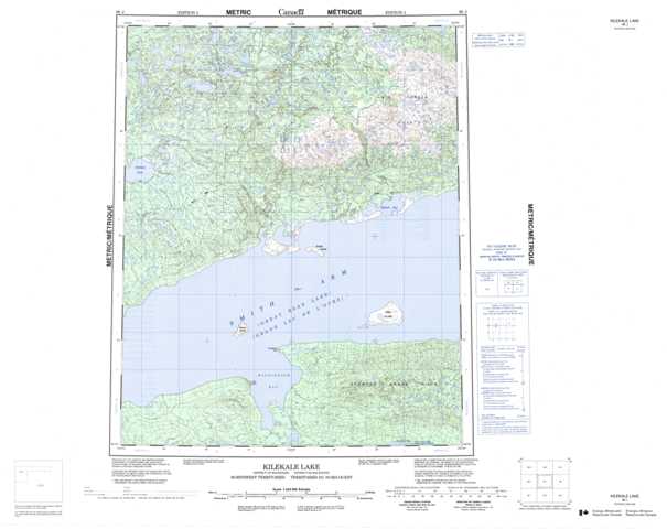
096J Kilekale Lake Topographic Maps
Maps for the Kilekale Lake map sheet 096J at 1:250,000 scale are available in 5 versions:
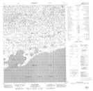
Topographic Map of Kilekale Lake
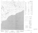
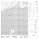
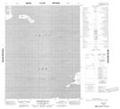
1:50,000 Scale Topos for Kilekale Lake 096J:
 |
 |
 |
 |
 |
 |
 |
 |
 |
 |
 |
 |
 |
 |
 |
 |
096J Related Maps:
096J Kilekale Lake
096J01 No Title
096J02 No Title
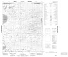
096J03 Goodfellow Point
096J04 No Title
096J05 No Title
096J06 Ikanyo Island
096J07 Kroger Island
096J08 Ekka Island
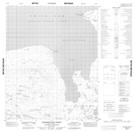
096J09 Mcgill Bay
096J10 No Title
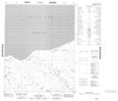
096J11 Katseyedie River
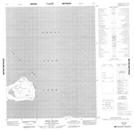
096J12 Kilekale Lake
096J13 No Title
096J14 No Title
096J15 No Title
096J16 No Title
096J01 No Title
096J02 No Title
096J03 Goodfellow Point
096J04 No Title
096J05 No Title
096J06 Ikanyo Island
096J07 Kroger Island
096J08 Ekka Island
096J09 Mcgill Bay
096J10 No Title
096J11 Katseyedie River
096J12 Kilekale Lake
096J13 No Title
096J14 No Title
096J15 No Title
096J16 No Title
