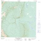
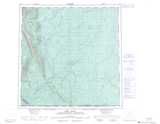
Maps showing Blue Bill Creek, Mackenzie, Northwest Territories
Blue Bill Creek is a River located in Mackenzie, Northwest Territories.
- Latitude: 60° 51' 0'' North (decimal: 60.8500685)
- Longitude: 123° 36' 6'' West (decimal: -123.6015471)
- Topography Feature Category: River
- Geographical Feature: Creek
- Canadian Province/Territory: Northwest Territories
- Location: Mackenzie
- Atlas of Canada Locator Map: Blue Bill Creek
- GPS Coordinate Locator Map: Blue Bill Creek Lat/Long
Blue Bill Creek NTS Map Sheets