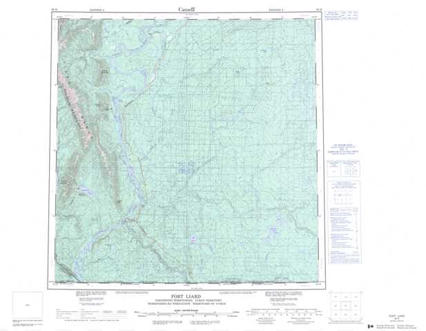
095B Fort Liard Topographic Maps
Maps for the Fort Liard map sheet 095B at 1:250,000 scale are available in 5 versions:
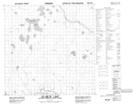
Topographic Map of Fort Liard
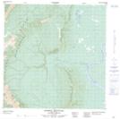
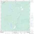
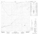
1:50,000 Scale Topos for Fort Liard 095B:
 |
 |
 |
 |
 |
 |
 |
 |
 |
 |
 |
 |
 |
 |
 |
 |
095B Related Maps:
095B Fort Liard
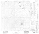
095B01 Celibeta Lake
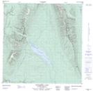
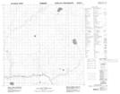
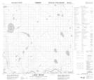
095B02 Lake Bovie
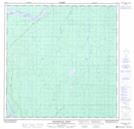
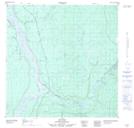
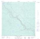
095B03 Fort Liard
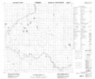
095B04 Betalamea Lake
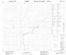
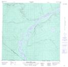
095B05 Fisherman Lake
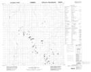
095B06 No Title
095B07 No Title
095B08 No Title
095B09 No Title
095B10 No Title
095B11 Denedothada Creek
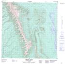
095B12 Mount Flett
095B13 Sawmill Mountain
095B14 Netla River
095B15 Emile Lake
095B16 No Title
095B01 Celibeta Lake
095B02 Lake Bovie
095B03 Fort Liard
095B04 Betalamea Lake
095B05 Fisherman Lake
095B06 No Title
095B07 No Title
095B08 No Title
095B09 No Title
095B10 No Title
095B11 Denedothada Creek
095B12 Mount Flett
095B13 Sawmill Mountain
095B14 Netla River
095B15 Emile Lake
095B16 No Title
