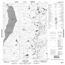
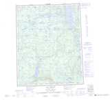
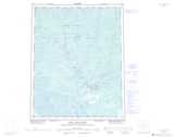
Maps showing Bluefish River, Mackenzie, Northwest Territories
Bluefish River is a River located in Mackenzie, Northwest Territories and has an elevation of 94 meters.
- Latitude: 66° 24' 10'' North (decimal: 66.4028388)
- Longitude: 128° 11' 47'' West (decimal: -128.1964828)
- Topography Feature Category: River
- Geographical Feature: River
- Canadian Province/Territory: Northwest Territories
- Elevation: 94 meters
- Location: Mackenzie
- Atlas of Canada Locator Map: Bluefish River
- GPS Coordinate Locator Map: Bluefish River Lat/Long
Bluefish River NTS Map Sheets
096L13 No Title Topographic Map at 1:50,000 scale
096L14 No Title Topographic Map at 1:50,000 scale
106I08 Ontadek Lake Topographic Map at 1:50,000 scale
106I09 Tchaneta River Topographic Map at 1:50,000 scale
106I16 Rorey Lake Topographic Map at 1:50,000 scale
096L Lac Belot Topographic Map at 1:250,000 scale
106I Fort Good Hope Topographic Map at 1:250,000 scale