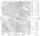
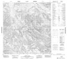
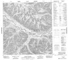
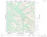
Maps showing Bologna Ridge, Mackenzie, Northwest Territories
Bologna Ridge is a Mountain located in Mackenzie, Northwest Territories and has an elevation of 1981 meters.
- Latitude: 62° 18' 00'' North (decimal: 62.2998775)
- Longitude: 128° 22' 6'' West (decimal: -128.3684612)
- Topography Feature Category: Mountain
- Geographical Feature: Ridge
- Canadian Province/Territory: Northwest Territories
- Elevation: 1981 meters
- Location: Mackenzie
- Atlas of Canada Locator Map: Bologna Ridge
- GPS Coordinate Locator Map: Bologna Ridge Lat/Long
Bologna Ridge NTS Map Sheets