Canada Topographic Maps

Broken Skull River Topo Maps

Topography maps and Latitude/Longitude Location

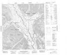
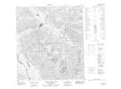
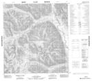
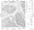
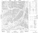
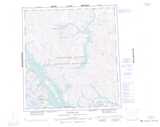
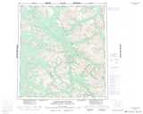
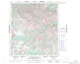
Maps showing Broken Skull River, Mackenzie, Northwest Territories

Broken Skull River is a River located in Mackenzie, Northwest Territories and has an elevation of 811 meters.

  • Latitude: 62° 16' 00'' North   (decimal: 62.2665617)
  • Longitude: 127° 39' 6'' West   (decimal: -127.6517641)
  • Topography Feature Category: River
  • Geographical Feature: River
  • Canadian Province/Territory: Northwest Territories
  • Elevation: 811 meters
  • Location: Mackenzie
  • Atlas of Canada Locator Map: Broken Skull River
  • GPS Coordinate Locator Map: Broken Skull River Lat/Long

Broken Skull River NTS Map Sheets

095L05 Black Wolf Mountain Topographic Map at 1:50,000 scale

095L12 Grizzly Bear Lake Topographic Map at 1:50,000 scale

105I09 No Title Topographic Map at 1:50,000 scale

105I15 No Title Topographic Map at 1:50,000 scale

105I16 No Title Topographic Map at 1:50,000 scale

105P02 No Title Topographic Map at 1:50,000 scale

095L Glacier Lake Topographic Map at 1:250,000 scale

105I Little Nahanni River Topographic Map at 1:250,000 scale

105P Sekwi Mountain Topographic Map at 1:250,000 scale

 
Buy Topographic Maps DVD
Newsletter Sign-up

Yes, I want to receive map store discounts.


Bookmark and Share