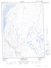
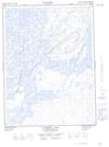
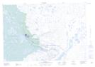
Maps showing Campbell Lake, Mackenzie, Northwest Territories
Campbell Lake is a Lake located in Mackenzie, Northwest Territories and has an elevation of 21 meters.
- Latitude: 68° 13' 00'' North (decimal: 68.2166109)
- Longitude: 133° 27' 9'' West (decimal: -133.4525103)
- Topography Feature Category: Lake
- Geographical Feature: Lake
- Canadian Province/Territory: Northwest Territories
- Elevation: 21 meters
- Location: Mackenzie
- Atlas of Canada Locator Map: Campbell Lake
- GPS Coordinate Locator Map: Campbell Lake Lat/Long
Campbell Lake NTS Map Sheets