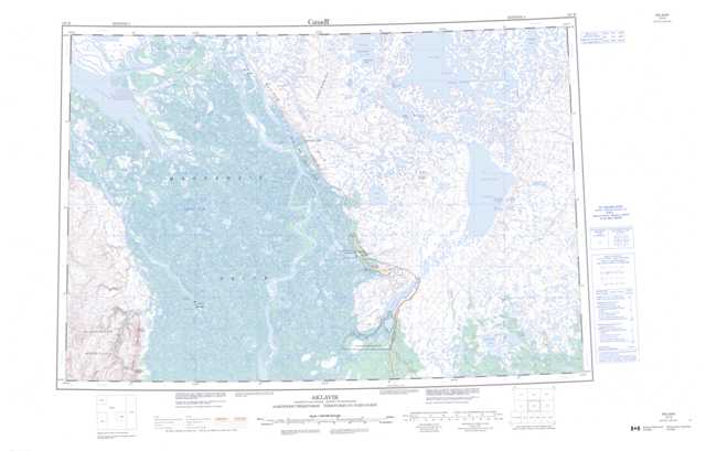
107B Aklavik Topographic Maps
Maps for the Aklavik map sheet 107B at 1:250,000 scale are available in 5 versions:
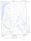
Topographic Map of Aklavik
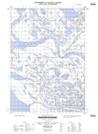
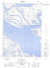
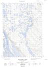
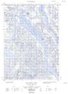
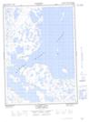
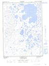
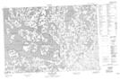
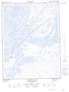
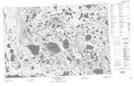
1:50,000 Scale Topos for Aklavik 107B:
  |
  |
  |
 |
  |
  |
  |
 |
  |
  |
 |
 |
 |
  |
  |
 |
107B Related Maps:
107B Aklavik
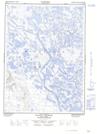
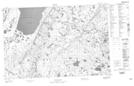
107B01 Lost Reindeer Lakes
107B02E Campbell Lake
107B02W Campbell Lake
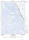
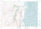
107B03E Aklavik Channel
107B03W Aklavik Channel
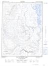
107B04 Aklavik Range
107B05E Beaver House Creek
107B05W Beaver House Creek
107B06E Schooner Channel
107B06W Schooner Channel
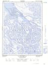
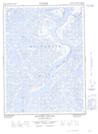
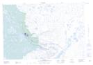
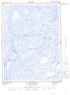
107B07 Inuvik
107B08 No Title
107B09 No Title
107B10E Noell Lake
107B10W Noell Lake
107B11E Reindeer Station
107B11W Reindeer Station
107B12E Leland Channel
107B12W Leland Channel
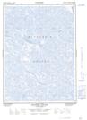
107B13E Shallow Bay
107B13W Shallow Bay
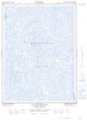
107B14E Wolverine Lakes
107B14W Wolverine Lakes
107B15E Parsons Lake
107B15W Parsons Lake
107B16 Old Man Lake
107B01 Lost Reindeer Lakes
107B02E Campbell Lake
107B02W Campbell Lake
107B03E Aklavik Channel
107B03W Aklavik Channel
107B04 Aklavik Range
107B05E Beaver House Creek
107B05W Beaver House Creek
107B06E Schooner Channel
107B06W Schooner Channel
107B07 Inuvik
107B08 No Title
107B09 No Title
107B10E Noell Lake
107B10W Noell Lake
107B11E Reindeer Station
107B11W Reindeer Station
107B12E Leland Channel
107B12W Leland Channel
107B13E Shallow Bay
107B13W Shallow Bay
107B14E Wolverine Lakes
107B14W Wolverine Lakes
107B15E Parsons Lake
107B15W Parsons Lake
107B16 Old Man Lake
