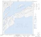
Maps showing Christie Bay, Mackenzie, Northwest Territories
Christie Bay is a Bay located in Mackenzie, Northwest Territories and has an elevation of 156 meters.
- Latitude: 62° 32' 1'' North (decimal: 62.5335725)
- Longitude: 111° 10' 4'' West (decimal: -111.1676952)
- Topography Feature Category: Bay
- Geographical Feature: Bay
- Canadian Province/Territory: Northwest Territories
- Elevation: 156 meters
- Location: Mackenzie
- Atlas of Canada Locator Map: Christie Bay
- GPS Coordinate Locator Map: Christie Bay Lat/Long
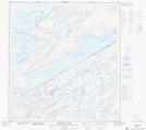
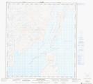
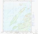
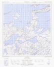
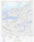
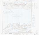
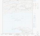
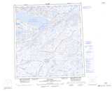
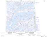
Christie Bay NTS Map Sheets
075L03 Mcdonald Lake Topographic Map at 1:50,000 scale
075L05 Sachowia Point Topographic Map at 1:50,000 scale
075L06 Redcliff Island Topographic Map at 1:50,000 scale
075L07 Snowdrift Topographic Map at 1:50,000 scale
075L08 Mclean Bay Topographic Map at 1:50,000 scale
075L09 Tochatwi Bay Topographic Map at 1:50,000 scale
075L10 Pearson Point Topographic Map at 1:50,000 scale
075L11 Pethei Peninsula Topographic Map at 1:50,000 scale
075K Reliance Topographic Map at 1:250,000 scale
075L Snowdrift Topographic Map at 1:250,000 scale