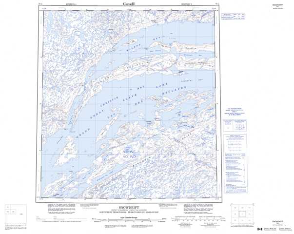
075L Snowdrift Topographic Maps
Maps for the Snowdrift map sheet 075L at 1:250,000 scale are available in 5 versions:
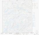
Topographic Map of Snowdrift
1:50,000 Scale Topos for Snowdrift 075L:
 |
 |
 |
 |
 |
 |
 |
 |
 |
 |
 |
 |
 |
 |
 |
 |
075L Related Maps:
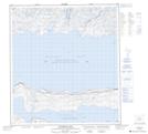
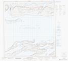
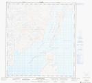
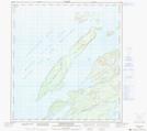
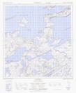
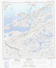
075L Snowdrift
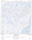
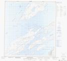
075L01 Austin Lake
075L02 La Loche Lakes
075L03 Mcdonald Lake
075L04 Keith Island
075L05 Sachowia Point
075L06 Redcliff Island
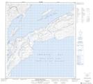
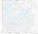
075L07 Snowdrift
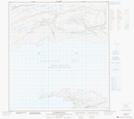
075L08 Mclean Bay
075L09 Tochatwi Bay
075L10 Pearson Point
075L11 Pethei Peninsula
075L12 Taltheilei Narrows
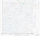
075L13 Mckinlay Lake
075L14 Akaitcho Lake
075L15 Lost Channel
075L16 Wildbread Bay
075L01 Austin Lake
075L02 La Loche Lakes
075L03 Mcdonald Lake
075L04 Keith Island
075L05 Sachowia Point
075L06 Redcliff Island
075L07 Snowdrift
075L08 Mclean Bay
075L09 Tochatwi Bay
075L10 Pearson Point
075L11 Pethei Peninsula
075L12 Taltheilei Narrows
075L13 Mckinlay Lake
075L14 Akaitcho Lake
075L15 Lost Channel
075L16 Wildbread Bay
