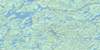
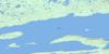
Canada Topographic Maps

Snowdrift Topo Map

Free Topo Maps Downloadable Online: 075L

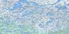
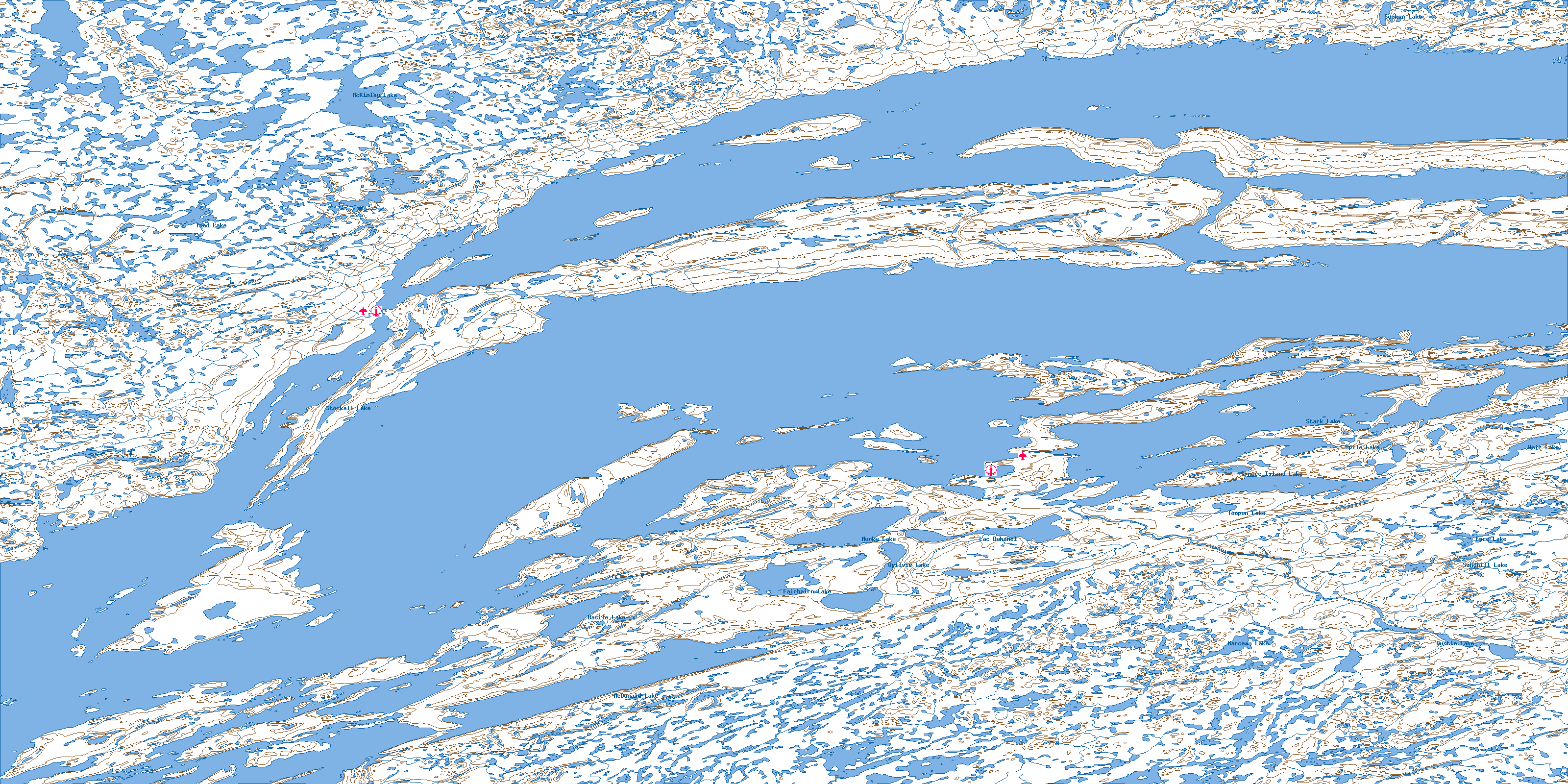
075L Snowdrift Topo Map

To view this map, mouse over the map preview on the right.

You can also download this topo map for free:
075L Snowdrift high-resolution topo map image.

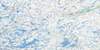
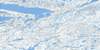
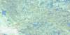
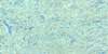
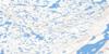
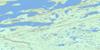
Maps for the Snowdrift map sheet 075L at 1:250,000 scale are also available in these 4 versions:

  1. Buy Digital Topo Maps on Data-DVD
  2. Buy 075L Snowdrift Waterproof Topographic Map
  3. Buy 075L Snowdrift Topographic Paper Map
  4. Free Printable NTS Topographic Map
 

Snowdrift Surrounding Area Topos (NTS 075)

075M Mackay Lake Free Online Topo Map Thumbnail 075N Walmsley Lake Free Online Topo Map Thumbnail 075O Artillery Lake Free Online Topo Map Thumbnail 075P Hanbury River Free Online Topo Map Thumbnail
075L Snowdrift Free Online Topo Map Thumbnail 075K Reliance Free Online Topo Map Thumbnail 075J Lynx Lake Free Online Topo Map Thumbnail 075I Beaverhill Lake Free Online Topo Map Thumbnail
075E Taltson Lake Free Online Topo Map Thumbnail 075F Nonacho Lake Free Online Topo Map Thumbnail 075G Mccann Lake Free Online Topo Map Thumbnail 075H Rennie Lake Free Online Topo Map Thumbnail
075D Fort Smith Free Online Topo Map Thumbnail 075C Hill Island Lake Free Online Topo Map Thumbnail 075B Abitau Lake Free Online Topo Map Thumbnail 075A Wholdaia Lake Free Online Topo Map Thumbnail
© Department of Natural Resources Canada. All rights reserved.

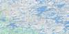
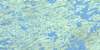
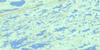
075L Snowdrift Area Topo Maps at 1:50,000

075L13 Mckinlay Lake Topo Map Thumbnail 075L14 Akaitcho Lake Topo Map Thumbnail 075L15 Lost Channel Topo Map Thumbnail 075L16 Wildbread Bay Topo Map Thumbnail
075L12 Taltheilei Narrows Topo Map Thumbnail 075L11 Pethei Peninsula Topo Map Thumbnail 075L10 Pearson Point Topo Map Thumbnail 075L09 Tochatwi Bay Topo Map Thumbnail
075L05 Sachowia Point Topo Map Thumbnail 075L06 Redcliff Island Topo Map Thumbnail 075L07 Snowdrift Topo Map Thumbnail 075L08 Mclean Bay Topo Map Thumbnail
075L04 Keith Island Topo Map Thumbnail 075L03 Mcdonald Lake Topo Map Thumbnail 075L02 La Loche Lakes Topo Map Thumbnail 075L01 Austin Lake Topo Map Thumbnail
© Department of Natural Resources Canada. All rights reserved.
Snowdrift Topo Map 075L at 1:250,000 Scale
© Department of Natural Resources Canada. All rights reserved.
 
Buy Topographic Maps DVD
Newsletter Sign-up

Yes, I want to receive map store discounts.


Bookmark and Share