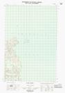
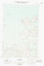
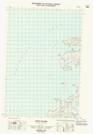
Maps showing Devon Point, Mackenzie, Northwest Territories
Devon Point is a Cape located in Mackenzie, Northwest Territories.
- Latitude: 70° 12' 1'' North (decimal: 70.2002638)
- Longitude: 124° 40' 9'' West (decimal: -124.6692390)
- Topography Feature Category: Cape
- Geographical Feature: Point
- Canadian Province/Territory: Northwest Territories
- Location: Mackenzie
- Atlas of Canada Locator Map: Devon Point
- GPS Coordinate Locator Map: Devon Point Lat/Long
Devon Point NTS Map Sheets