097F Malloch Hill Topographic Maps
Maps for the Malloch Hill map sheet 097F at 1:250,000 scale are available in 5 versions:
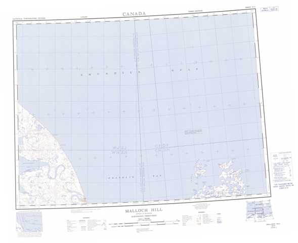
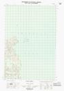
Topographic Map of Malloch Hill
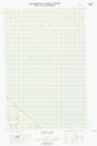
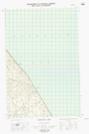
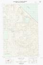
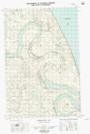
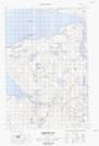
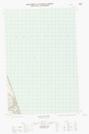
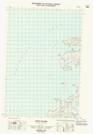
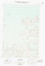
1:50,000 Scale Topos for Malloch Hill 097F:
 |
|||
  |
|||
  |
 |
 |
  |
097F Related Maps:
097F Malloch Hill
097F01E Cape Parry
097F01W Cape Parry
097F02E Booth Islands
097F03W Malloch Hill
097F04E Harrowby Bay
097F04W Harrowby Bay
097F05E Mckinlay Lake
097F05W Mckinlay Lake
097F12W Mamen Lake
097F01E Cape Parry
097F01W Cape Parry
097F02E Booth Islands
097F03W Malloch Hill
097F04E Harrowby Bay
097F04W Harrowby Bay
097F05E Mckinlay Lake
097F05W Mckinlay Lake
097F12W Mamen Lake
