Canada Topographic Maps

East Kitson River Topo Maps

Topography maps and Latitude/Longitude Location

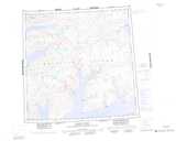
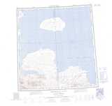
Maps showing East Kitson River, Franklin, Northwest Territories

East Kitson River is a River located in Franklin, Northwest Territories.

  • Latitude: 76° 8' 3'' North   (decimal: 76.1340478)
  • Longitude: 112° 53' 9'' West   (decimal: -112.8859653)
  • Topography Feature Category: River
  • Geographical Feature: River
  • Canadian Province/Territory: Northwest Territories
  • Location: Franklin
  • Atlas of Canada Locator Map: East Kitson River
  • GPS Coordinate Locator Map: East Kitson River Lat/Long

East Kitson River NTS Map Sheets

088H15 No Title Topographic Map at 1:50,000 scale

088H16 Raglan Range Topographic Map at 1:50,000 scale

089A01 Kitson River Topographic Map at 1:50,000 scale

089A02 No Title Topographic Map at 1:50,000 scale

088H Murray Inlet Topographic Map at 1:250,000 scale

089A Emerald Isle Topographic Map at 1:250,000 scale

 
Buy Topographic Maps DVD
Newsletter Sign-up

Yes, I want to receive map store discounts.


Bookmark and Share