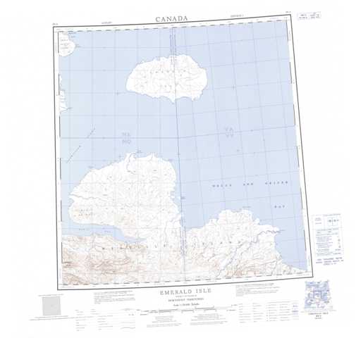
089A Emerald Isle Topographic Maps
Maps for the Emerald Isle map sheet 089A at 1:250,000 scale are available in 5 versions:
Topographic Map of Emerald Isle
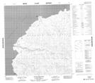
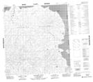
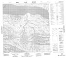
1:50,000 Scale Topos for Emerald Isle 089A:
 |
 |
||
 |
 |
 |
 |
089A Related Maps:
089A Emerald Isle
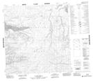
089A01 Kitson River
089A02 No Title
089A03 No Title
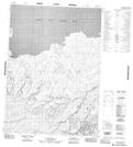
089A04 Marie Bay
089A05 Marie Heights
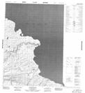
089A06 Cleverly Point
089A01 Kitson River
089A02 No Title
089A03 No Title
089A04 Marie Bay
089A05 Marie Heights
089A06 Cleverly Point
