Maps showing East River, Mackenzie, Northwest Territories
East River is a River located in Mackenzie, Northwest Territories.
- Latitude: 67° 0' 1'' North (decimal: 67.0002987)
- Longitude: 117° 51' 6'' West (decimal: -117.8516882)
- Topography Feature Category: River
- Geographical Feature: River
- Canadian Province/Territory: Northwest Territories
- Location: Mackenzie
- Atlas of Canada Locator Map: East River
- GPS Coordinate Locator Map: East River Lat/Long
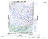
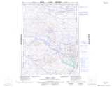
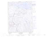
East River NTS Map Sheets
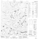
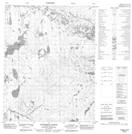
086K13 No Title Topographic Map at 1:50,000 scale
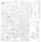
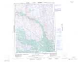
086K14 No Title Topographic Map at 1:50,000 scale
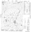
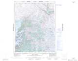
086L16 Janitzi Creek Topographic Map at 1:50,000 scale
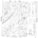
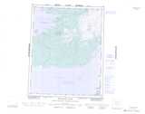
086M01 No Title Topographic Map at 1:50,000 scale
086N04 Anderson Creek Topographic Map at 1:50,000 scale
086J Hepburn Lake Topographic Map at 1:250,000 scale
086K Sloan River Topographic Map at 1:250,000 scale
086L Takaatcho River Topographic Map at 1:250,000 scale
086M Bebensee Lake Topographic Map at 1:250,000 scale
086N Dismal Lakes Topographic Map at 1:250,000 scale
086O Coppermine Topographic Map at 1:250,000 scale