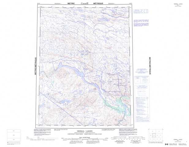
086N Dismal Lakes Topographic Maps
Maps for the Dismal Lakes map sheet 086N at 1:250,000 scale are available in 5 versions:
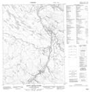
Topographic Map of Dismal Lakes
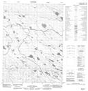
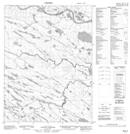
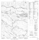
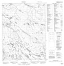
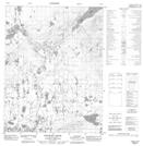
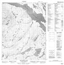
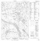
1:50,000 Scale Topos for Dismal Lakes 086N:
 |
 |
 |
 |
 |
 |
 |
 |
 |
 |
 |
 |
 |
 |
 |
 |
086N Related Maps:
086N Dismal Lakes
086N01 Rocky Defile Rapids
086N02 No Title
086N03 Lac Rouviere
086N04 Anderson Creek
086N05 Hanbury Kopje
086N06 Mountain Lake
086N07 Teshierpi Mountain
086N08 Tuktuvak Lake
086N09 No Title
086N10 Bornite Lake
086N11 Impact Lake
086N12 No Title
086N13 No Title
086N14 No Title
086N15 Cox Lake
086N16 No Title
