Maps showing Finnie River, Mackenzie, Northwest Territories
Finnie River is a River located in Mackenzie, Northwest Territories and has an elevation of 114 meters.
- Latitude: 64° 9' 16'' North (decimal: 64.1544918)
- Longitude: 102° 33' 32'' West (decimal: -102.5589636)
- Topography Feature Category: River
- Geographical Feature: River
- Canadian Province/Territory: Northwest Territories
- Elevation: 114 meters
- Location: Mackenzie
- Atlas of Canada Locator Map: Finnie River
- GPS Coordinate Locator Map: Finnie River Lat/Long
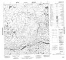
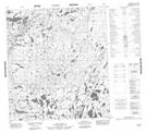
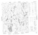
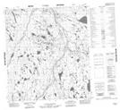
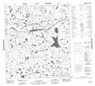
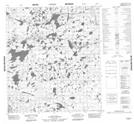
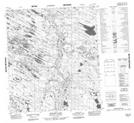
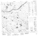
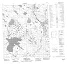
Finnie River NTS Map Sheets
065M06 No Title Topographic Map at 1:50,000 scale
065M07 No Title Topographic Map at 1:50,000 scale
065M08 Ernie Lake Topographic Map at 1:50,000 scale
065M09 No Title Topographic Map at 1:50,000 scale
065M11 No Title Topographic Map at 1:50,000 scale
065M12 No Title Topographic Map at 1:50,000 scale
065M16 Retort Lake Topographic Map at 1:50,000 scale
066D01 No Title Topographic Map at 1:50,000 scale
066D02 Lookout Point Topographic Map at 1:50,000 scale
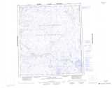
065M Clarke River Topographic Map at 1:250,000 scale
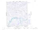
066D Tammarvi River Topographic Map at 1:250,000 scale