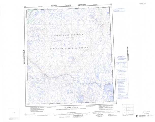
065M Clarke River Topographic Maps
Maps for the Clarke River map sheet 065M at 1:250,000 scale are available in 5 versions:
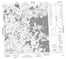
Topographic Map of Clarke River
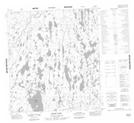
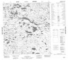
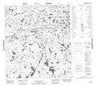
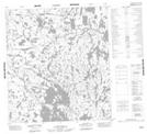
1:50,000 Scale Topos for Clarke River 065M:
 |
 |
 |
 |
 |
 |
 |
 |
 |
 |
 |
 |
 |
 |
 |
 |
065M Related Maps:
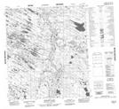
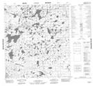
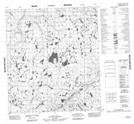
065M Clarke River
065M01 No Title
065M02 No Title
065M03 No Title
065M04 No Title
065M05 No Title
065M06 No Title
065M07 No Title
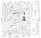
065M08 Ernie Lake
065M09 No Title
065M10 No Title
065M11 No Title
065M12 No Title
065M13 No Title
065M14 No Title
065M15 No Title
065M16 Retort Lake
065M01 No Title
065M02 No Title
065M03 No Title
065M04 No Title
065M05 No Title
065M06 No Title
065M07 No Title
065M08 Ernie Lake
065M09 No Title
065M10 No Title
065M11 No Title
065M12 No Title
065M13 No Title
065M14 No Title
065M15 No Title
065M16 Retort Lake
