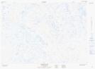
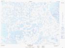
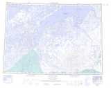
Maps showing Fox Den Island, Franklin, Northwest Territories
Fox Den Island is a Island located in Franklin, Northwest Territories and has an elevation of 1 meters.
- Latitude: 69° 42' 0'' North (decimal: 69.7000715)
- Longitude: 129° 0' 10'' West (decimal: -129.0026639)
- Topography Feature Category: Island
- Geographical Feature: Island
- Canadian Province/Territory: Northwest Territories
- Elevation: 1 meters
- Location: Franklin
- Atlas of Canada Locator Map: Fox Den Island
- GPS Coordinate Locator Map: Fox Den Island Lat/Long
Fox Den Island NTS Map Sheets