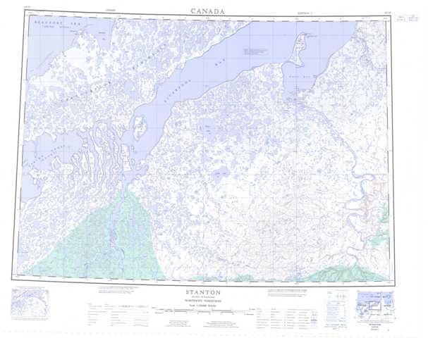
107D Stanton Topographic Maps
Maps for the Stanton map sheet 107D at 1:250,000 scale are available in 5 versions:
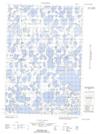
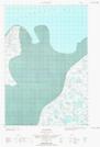
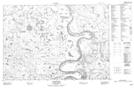
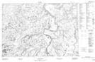
Topographic Map of Stanton
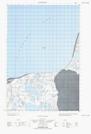
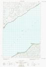
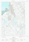
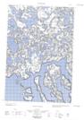
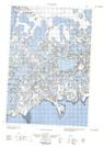
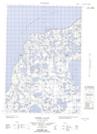
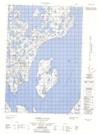
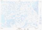
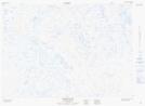
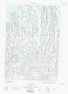
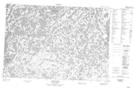
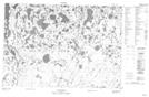
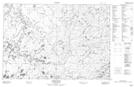
1:50,000 Scale Topos for Stanton 107D:
  |
  |
  |
  |
  |
  |
 |
 |
  |
  |
 |
 |
 |
 |
 |
 |
107D Related Maps:
107D Stanton
107D01 No Title
107D02 Smoke River
107D03 No Title
107D04 Jonas Lake
107D05E No Title
107D05W No Title
107D06E Thumb Island
107D06W No Title
107D07 Kaglik Lake
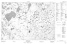
107D08 Husky Bend
107D09 Mitten Cove
107D10 Tingmiak Lake
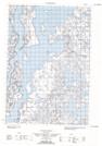
107D11E Campbell Island
107D11W Campbell Island
107D12E No Title
107D12W No Title
107D13E Atkinson Point
107D13W Atkinson Point
107D14E No Title
107D14W No Title
107D15E No Title
107D15W No Title
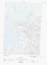
107D16E Stanton
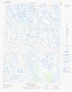
107D16W Stanton
107D01 No Title
107D02 Smoke River
107D03 No Title
107D04 Jonas Lake
107D05E No Title
107D05W No Title
107D06E Thumb Island
107D06W No Title
107D07 Kaglik Lake
107D08 Husky Bend
107D09 Mitten Cove
107D10 Tingmiak Lake
107D11E Campbell Island
107D11W Campbell Island
107D12E No Title
107D12W No Title
107D13E Atkinson Point
107D13W Atkinson Point
107D14E No Title
107D14W No Title
107D15E No Title
107D15W No Title
107D16E Stanton
107D16W Stanton
