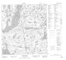
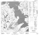
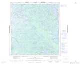
Maps showing Frank Channel, Mackenzie, Northwest Territories
Frank Channel is a Channel located in Mackenzie, Northwest Territories and has an elevation of 161 meters.
- Latitude: 62° 48' 1'' North (decimal: 62.8002036)
- Longitude: 115° 57' 35'' West (decimal: -115.9596834)
- Topography Feature Category: Channel
- Geographical Feature: Channel
- Canadian Province/Territory: Northwest Territories
- Elevation: 161 meters
- Location: Mackenzie
- Atlas of Canada Locator Map: Frank Channel
- GPS Coordinate Locator Map: Frank Channel Lat/Long
Frank Channel NTS Map Sheets