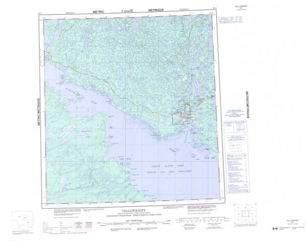
085J Yellowknife Topographic Maps
Maps for the Yellowknife map sheet 085J at 1:250,000 scale are available in 5 versions:
Topographic Map of Yellowknife
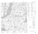
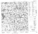
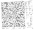
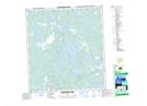
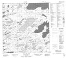
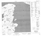
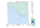
1:50,000 Scale Topos for Yellowknife 085J:
 |
 |
 |
 |
 |
 |
 |
 |
 |
 |
 |
 |
 |
 |
 |
 |
085J Related Maps:
085J Yellowknife
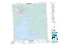
085J01 Pilot Islands
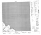
085J02 Foam Point
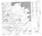
085J03 Mciver Bay
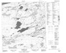
085J04 Dessert Lake
085J05 Bras D'Or Lake
085J06 Old Fort Island
085J07 Ptarmigan Point
085J08 Yellowknife Bay
085J09 Prosperous Lake
085J10 Narcisse Lake
085J11 Trout Rock
085J12 Waite Island
085J13 Stagg River
085J14 Stagg Lake
085J15 Awry Lake
085J16 Quyta Lake
085J01 Pilot Islands
085J02 Foam Point
085J03 Mciver Bay
085J04 Dessert Lake
085J05 Bras D'Or Lake
085J06 Old Fort Island
085J07 Ptarmigan Point
085J08 Yellowknife Bay
085J09 Prosperous Lake
085J10 Narcisse Lake
085J11 Trout Rock
085J12 Waite Island
085J13 Stagg River
085J14 Stagg Lake
085J15 Awry Lake
085J16 Quyta Lake
