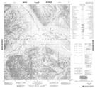
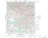
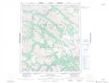
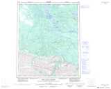
Maps showing Godlin River, Mackenzie, Northwest Territories
Godlin River is a River located in Mackenzie, Northwest Territories and has an elevation of 1031 meters.
- Latitude: 64° 4' 00'' North (decimal: 64.0666531)
- Longitude: 128° 13' 7'' West (decimal: -128.2185386)
- Topography Feature Category: River
- Geographical Feature: River
- Canadian Province/Territory: Northwest Territories
- Elevation: 1031 meters
- Location: Mackenzie
- Atlas of Canada Locator Map: Godlin River
- GPS Coordinate Locator Map: Godlin River Lat/Long
Godlin River NTS Map Sheets
105P11 Caribou Pass Topographic Map at 1:50,000 scale
105P14 No Title Topographic Map at 1:50,000 scale
105P15 Godlin Lakes Topographic Map at 1:50,000 scale
106A01 Ekwi River Topographic Map at 1:50,000 scale
106A02 Anthill Creek Topographic Map at 1:50,000 scale
105P Sekwi Mountain Topographic Map at 1:250,000 scale
106A Mount Eduni Topographic Map at 1:250,000 scale
106H Sans Sault Rapids Topographic Map at 1:250,000 scale