Canada Topographic Maps

Harrowby Bay Topo Maps

Topography maps and Latitude/Longitude Location

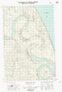
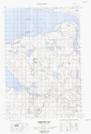
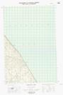
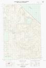
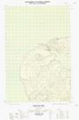
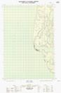
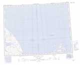
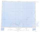
Maps showing Harrowby Bay, Mackenzie, Northwest Territories

Harrowby Bay is a Bay located in Mackenzie, Northwest Territories and has an elevation of 0 meters.

  • Latitude: 70° 13' 20'' North   (decimal: 70.2223573)
  • Longitude: 127° 55' 10'' West   (decimal: -127.9193913)
  • Topography Feature Category: Bay
  • Geographical Feature: Bay
  • Canadian Province/Territory: Northwest Territories
  • Elevation: 0 meters
  • Location: Mackenzie
  • Atlas of Canada Locator Map: Harrowby Bay
  • GPS Coordinate Locator Map: Harrowby Bay Lat/Long

Harrowby Bay NTS Map Sheets

097F04E Harrowby Bay Topographic Map at 1:50,000 scale

097F04W Harrowby Bay Topographic Map at 1:50,000 scale

097F05E Mckinlay Lake Topographic Map at 1:50,000 scale

097F05W Mckinlay Lake Topographic Map at 1:50,000 scale

107E01E Maitland Point Topographic Map at 1:50,000 scale

107E08E Neil Lake Topographic Map at 1:50,000 scale

097F Malloch Hill Topographic Map at 1:250,000 scale

107E Cape Dalhousie Topographic Map at 1:250,000 scale

 
Buy Topographic Maps DVD
Newsletter Sign-up

Yes, I want to receive map store discounts.


Bookmark and Share