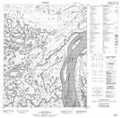
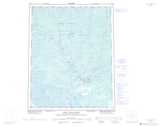
Maps showing Hume Island, Mackenzie, Northwest Territories
Hume Island is a Island located in Mackenzie, Northwest Territories.
- Latitude: 66° 5' 0'' North (decimal: 66.0833608)
- Longitude: 129° 7' 52'' West (decimal: -129.1311978)
- Topography Feature Category: Island
- Geographical Feature: Island
- Canadian Province/Territory: Northwest Territories
- Location: Mackenzie
- Atlas of Canada Locator Map: Hume Island
- GPS Coordinate Locator Map: Hume Island Lat/Long
Hume Island NTS Map Sheets