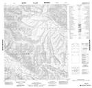
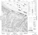
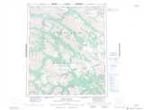
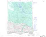
Maps showing Imperial River, Mackenzie, Northwest Territories
Imperial River is a River located in Mackenzie, Northwest Territories and has an elevation of 438 meters.
- Latitude: 65° 13' 50'' North (decimal: 65.2306130)
- Longitude: 127° 33' 52'' West (decimal: -127.5643863)
- Topography Feature Category: River
- Geographical Feature: River
- Canadian Province/Territory: Northwest Territories
- Elevation: 438 meters
- Location: Mackenzie
- Atlas of Canada Locator Map: Imperial River
- GPS Coordinate Locator Map: Imperial River Lat/Long
Imperial River NTS Map Sheets