Canada Topographic Maps

Kakisa Lake Topo Maps

Topography maps and Latitude/Longitude Location

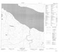
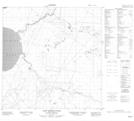
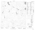
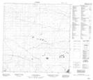
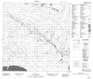
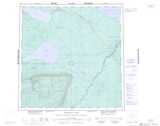
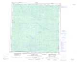
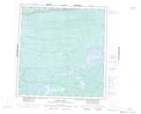
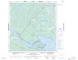
Maps showing Kakisa Lake, Mackenzie, Northwest Territories

Kakisa Lake is a Lake located in Mackenzie, Northwest Territories and has an elevation of 227 meters.

  • Latitude: 60° 56' 0'' North   (decimal: 60.9334463)
  • Longitude: 117° 43' 5'' West   (decimal: -117.7180786)
  • Topography Feature Category: Lake
  • Geographical Feature: Lake
  • Canadian Province/Territory: Northwest Territories
  • Elevation: 227 meters
  • Location: Mackenzie
  • Atlas of Canada Locator Map: Kakisa Lake
  • GPS Coordinate Locator Map: Kakisa Lake Lat/Long

Kakisa Lake NTS Map Sheets

085C13 Kakisa Lake Topographic Map at 1:50,000 scale

085C14 Lady Evelyn Falls Topographic Map at 1:50,000 scale

085D16 Foetus Lake Topographic Map at 1:50,000 scale

085E01 No Title Topographic Map at 1:50,000 scale

085F04 No Title Topographic Map at 1:50,000 scale

085C Tathlina Lake Topographic Map at 1:250,000 scale

085D Kakisa River Topographic Map at 1:250,000 scale

085E Mills Lake Topographic Map at 1:250,000 scale

085F Falaise Lake Topographic Map at 1:250,000 scale

 
Buy Topographic Maps DVD
Newsletter Sign-up

Yes, I want to receive map store discounts.


Bookmark and Share