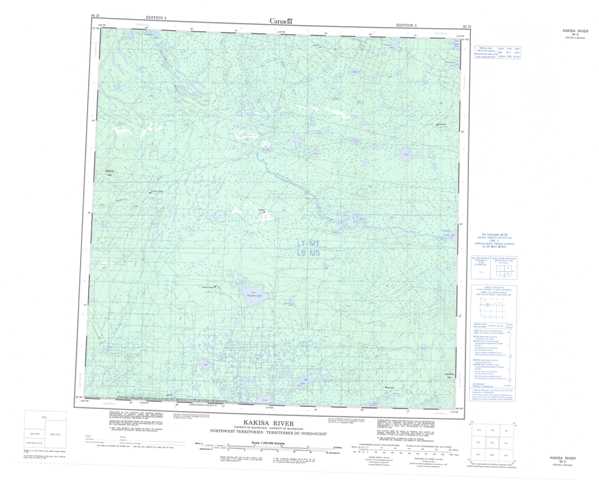
085D Kakisa River Topographic Maps
Maps for the Kakisa River map sheet 085D at 1:250,000 scale are available in 5 versions:
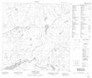
Topographic Map of Kakisa River
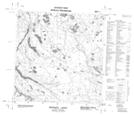
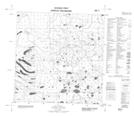
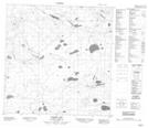
1:50,000 Scale Topos for Kakisa River 085D:
 |
 |
 |
 |
 |
 |
 |
 |
 |
 |
 |
 |
 |
 |
 |
 |
085D Related Maps:
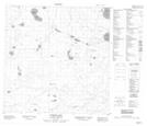
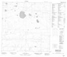
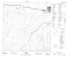
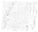
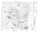
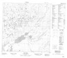
085D Kakisa River
085D01 Spawn Lake
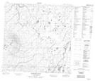
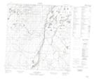
085D02 Silt Lake
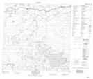
085D03 No Title
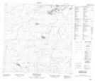
085D04 No Title
085D05 No Title
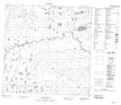
085D06 Dogface Lake
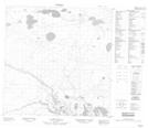
085D07 Browns Lake
085D08 No Title
085D09 No Title
085D10 No Title
085D11 No Title
085D12 Redknife Hills
085D13 Redknife Lakes
085D14 No Title
085D15 Rabbit Lake
085D16 Foetus Lake
085D01 Spawn Lake
085D02 Silt Lake
085D03 No Title
085D04 No Title
085D05 No Title
085D06 Dogface Lake
085D07 Browns Lake
085D08 No Title
085D09 No Title
085D10 No Title
085D11 No Title
085D12 Redknife Hills
085D13 Redknife Lakes
085D14 No Title
085D15 Rabbit Lake
085D16 Foetus Lake
